Hiking La Perouse to Malabar Beach – Is It worth It?
Here it goes: yet another road-less-traveled post. This time, it is from La Perouse to Malabar Beach. We can’t help it, we search for exciting one-of-a-kind experiences without the crowds and tourist prices. However, today, instead of talking about how to travel slow or navigate tourist traps in Tassie, we make a confession: sometimes the road less traveled is that way for a reason.
Other posts in our Walking Sydney’s Coast series:
Malabar to Maroubra
Coogee to Bondi
Bondi to Watson’s Bay
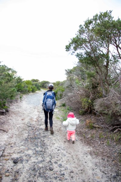
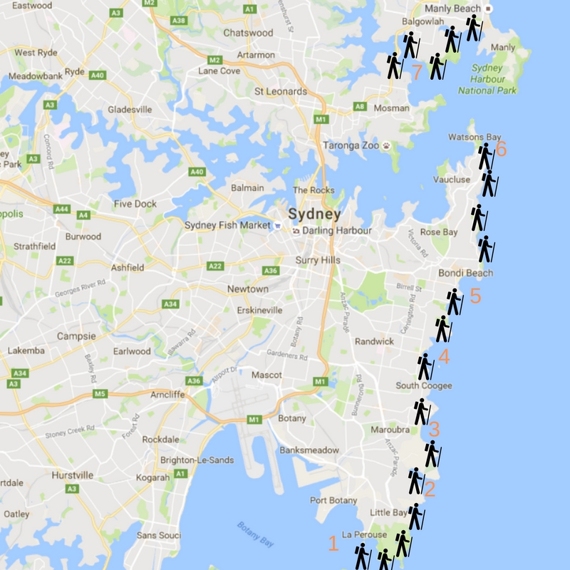
Short version: We hiked from La Perouse to Maroubra beach along the coast. The route contains by incredible scenery, a feeling of total escape from the city, and unmatched coastal views for 10km. Unfortunately, the path sits at the extreme end of the less traveled spectrum; it follows an old fire path that borders private land (i.e. four golf courses) for an uncomfortably long time, until it meets up with the Malabar Headlands National Park and becomes hiker-centric.
You might infer infer the issues that come with a coastal walk bordering golf courses and steep, coastal cliffs. To summarize, I wanted to quit and go home on one occasion, on another we abandoned the trail in favor of the road, and we also annoyed several Sunday golfers in the process.
Moral of the story: don’t walk from La Perouse to Malabar beach, but do walk from Malabar to Maroubra.
If you want to know all that went wrong in our walk to Malabar, please read on. However, if you are looking for blue skies and sunny tales, come back next week as we recount the adventures from Malabar to Maroubra.
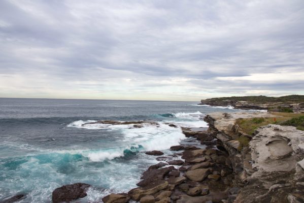
The Tragic Tale of our Walk from La Perouse to Malabar Beach – La Perouse
A couple of weeks ago, JZ and I borrowed a Sydney Morning Herald coastal walks guidebook. The book is beautifully photographed and informative, with turn-by-turn photos, maps that appear quite detailed, and a couple hikes that we didn’t know existed. One of those hikes: Maroubra to La Perouse.
We previously enjoyed the sandy paths and water views at La Perouse and Henry Head, even though the summer heat stifled our desire to extend the trip. We never explored the stretch of coast between Coogee and La Perouse, and decided that with the cool winter weather, ignoring a possible impending rain storm, we should attempted the 10km walk to Maroubra.
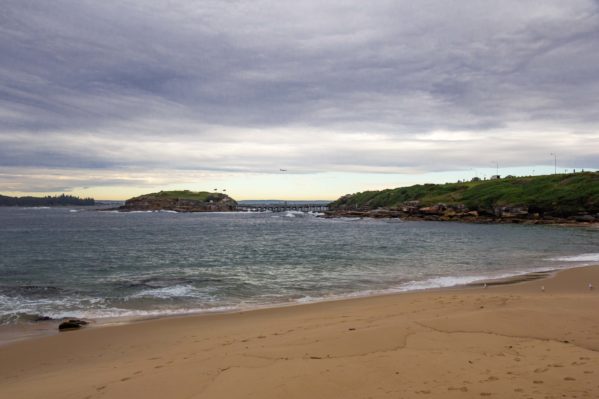
Lonely winter mornings at La Perouse
The walk begins through Congwong beach, and onto marked trails in Henry Head National Park. But confusion reigned within minutes of exiting the beach: two signs pointed to trails leading opposite directions and a paved service road appearing to curve toward our final destination. After another careful read of the guidebook, we chose the pavement, and precariously walked beside the road.
Luckily, JZ has some navigational skills, and he reads maps more fluently than I do. At the end of the service road, through a neighborhood, and past an old cemetery, we found ourselves on something much closer to the coastal walk we expected.
There are multiple, lengthy “out and back” near Henry Head that we needed to bypass to make it all the way through to Maroubra. Upon talking with a local, we learned that a recent storm cut off access down around Henry Head and Cape Banks, which contributed to the confusing signage. Unfortunately, our success did not last long, as the trail emptied us out on to a stunning overlook, with very little guidance, and no clear path forward.
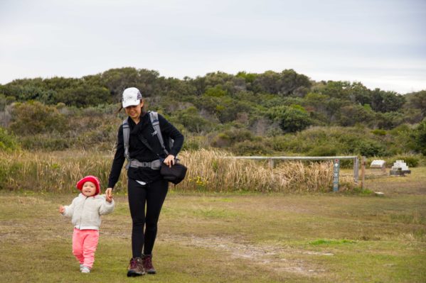
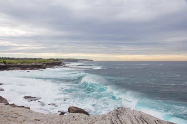
At this point I have to admit that I was more than a bit perturbed by the circumstances of the walk.
First of all, we spent 2 hours to traverse a scant 1km of 12km, and between photos and letting CZ roam, our lunch plans were in jeopardy. Second, I have a strict internal conflict with breaking rules, so the ambiguity of the trail and private property signs brought great anxiety. To top it off, JZ shared none of my sentiments, blatantly enjoyed himself, and became so engrossed in photographing “whales” that we missed an opportunity to follow seemingly experienced travelers of the coastline. My hopes of avoiding a self-guided struggle through the upcoming golf course, walked over a hill, around a bend, and out of sight just as JZ gave up on his whales (later editing would reveal that the figures were small boats).
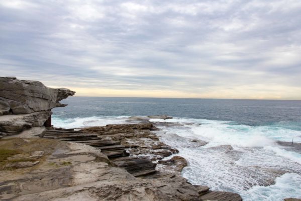
There are several things to blame for what happened next:
1) A small national park sign on the boundary of the adjacent golf course clearly stated something to the effect of “The golf course is private property, do not walk on the green. Stay on the trail” The implication of a public trail offered a slight reduction in my anxiety, without answering my burning question, “are we even supposed to walk here?” It also empowered JZ charge forward, leading the way through 18 holes of terror.
2) It just so happened that the aforementioned trail is invisible to the untrained eye.
3) As we attempted to stay on the “trail,” I was not in the mood to scamper between grassy knobs and the cliff’s edge to avoid being hit by stray golf balls.
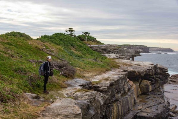
My “Do not tell me to smile right now” face. Note the cliff edge.
4) I lacked confidence in JZ’s scampering, the integrity of the cliff, and our ability to swim in freezing water weighed down with a backpack full of camera equipment and a small child.
5) A golfer yelled at us for trespassing.
In a state between total confusion and panic, we quickly exited the cliff/green/trail, and walked down a paved road (also bejeweled with “Members Only” and “Not for Public Access” signs) to exit the golf course.
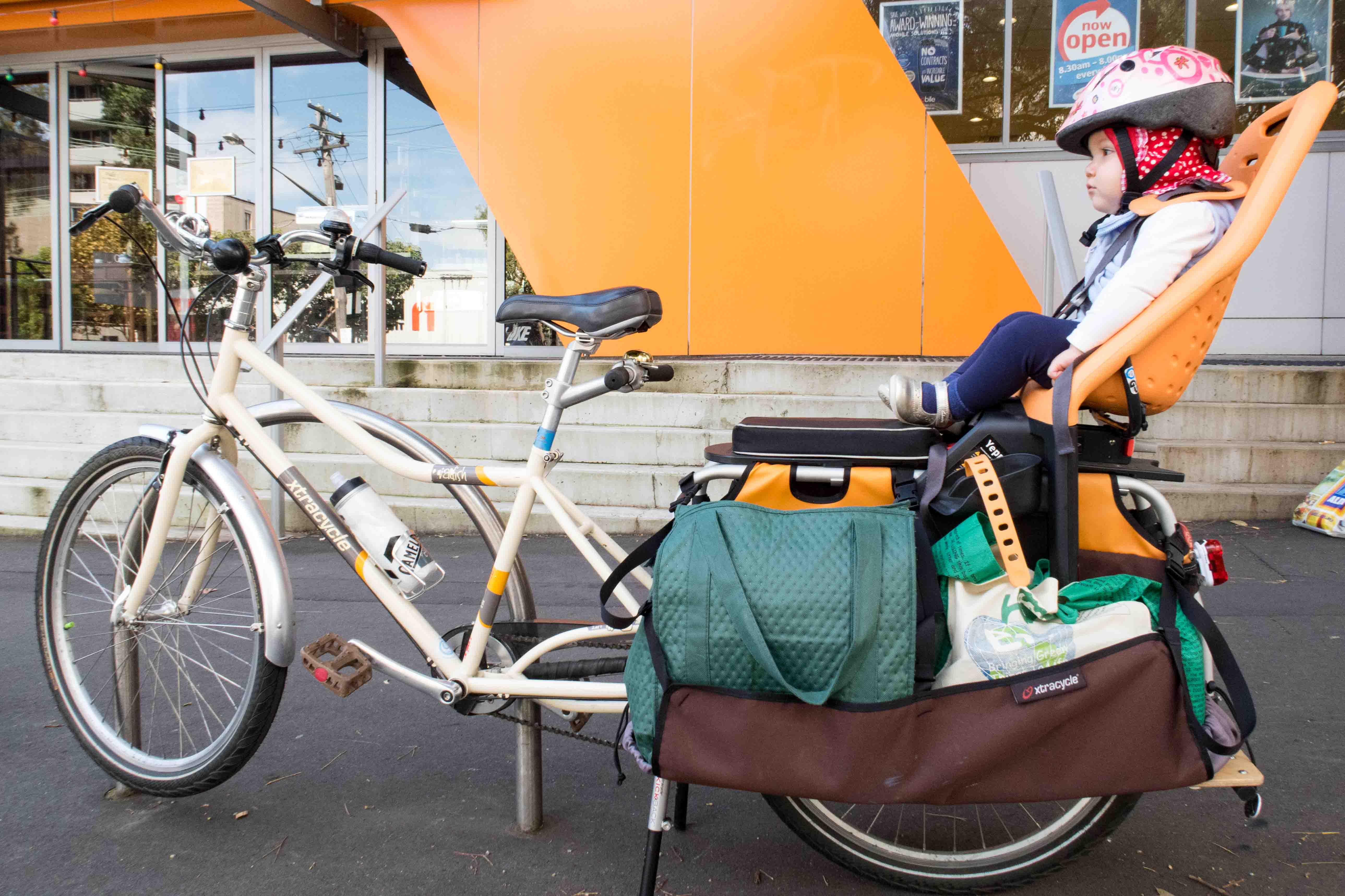
JZ and I, now both shaken by the incident, regrouped at Little Bay. Unfortunately, the worst was not behind us, and we still must traverse two additional golf courses. We pulled out our phones to chart a course on the roads, but it added an unnecessary 30 minutes to our already long, off-schedule walk. CZ napped in the backpack, unaware of the recent emotional trauma and serious navigational concerns.
The Tragic Tale of our Walk from La Perouse to Malabar Beach – Little Bay
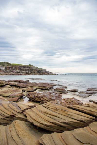
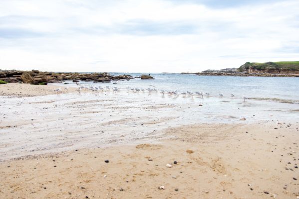
Instead of lingering on our problem, or making a decision, we distracted ourselves with the beauty of an empty Little Bay in the winter. We met a kindred spirit, Kate, playing with her two sons, and chatted about work/life balance, the importance of the outdoors, and the utility of crocs for beach shoes.
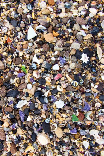
I also took a few minutes to admire the delicate and colorful seashells and sea glass.
Finally, we spotted another hiker and asked for more specific directions. As a longtime local, she emphatically told us which areas were privately owned by the golf courses, and which areas are public lands. She also gave detailed instructions for navigating the greens to the next beach.
Confident in our local guide, we strode through a gap in the next green, and then hugged the back side of houses along the next course. After one successful course crossing, we were able to exit the range and walk along the road around the final course. It was a stressful stretch of coast that we do not recommend, but we did it. We celebrated with a round of high-fives and a brief snack break at Malabar.
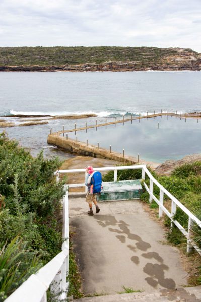
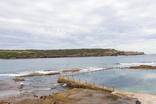
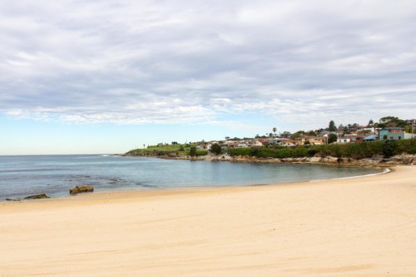
On a cloudy day, Malabar beach is sleepy, almost deserted, with only a few locals on the playground. We roamed the sand alone, refilled our water bottles, and lamented the absence of an intriguing lunch spot. After polishing off our trail mix, a mandarin, and two bananas, we searched for the entrance to the Malabar Headlands park.
We found it next to a sign that warned of toxic chemicals and asbestos, but more on that next week!
Know Before You Go – La Perouse to Malabar Beach
Do you really want to do this?
- Distance: 6km
- Walk confidently and avoid getting hit by golf balls
- Water and bathrooms are available at La Perouse and Malabar. Bathrooms are available at Little Bay
- Take the L94 for the fastest route from Circular Quay to La Perouse
- Buses from Malabar are very limited (especially on the weekends), consider continuing the walk (or again, maybe just skip this one) to Maroubra which has a plethora of bus options
- Watch out for glass pieces on Little Bay beach – keep crocs on the little ones!

Hi,
We followed the guide and map in http://www.walkingcoastalsydney.com.au/ and didn’t have a problem. Have walked Cronulla to Central Coast using this guide.
Pete & Pat
(NSW Central Coast)
Hi Pete,
Thanks for sharing – those maps are awesome, we definitely will be using these in the future!
As far as walking from La Perouse, did you find that the trail was clearly delineated through the golf course or did you just confidently follow the map? I wonder if we just missed it or turned around too quickly?
Thanks!